The Crescent Trail System and Map
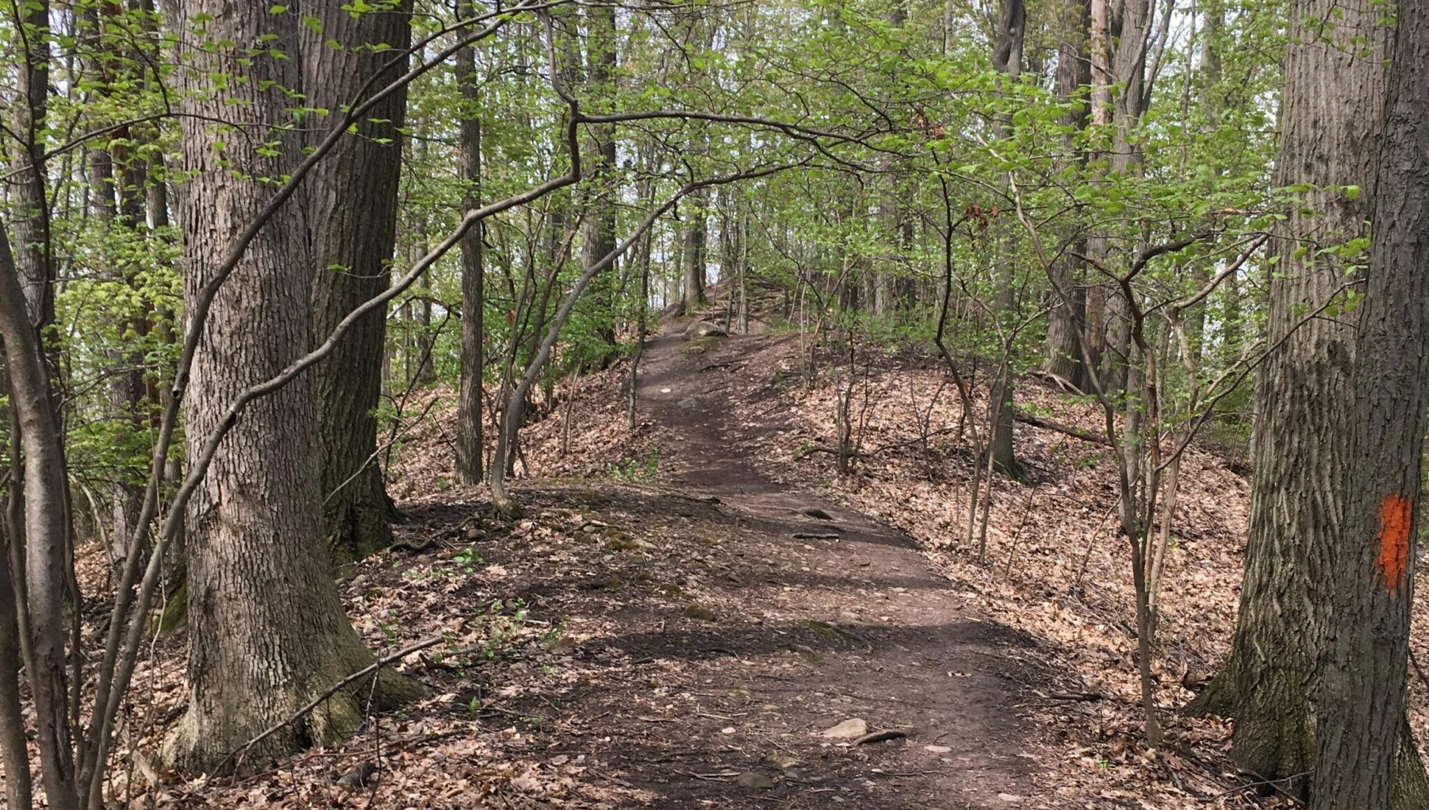
The Crescent Trail is a system of footpaths within the Town of Perinton suitable for uses such as hiking, cross-country running, snowshoeing, nature study, and photography. Approximately thirty-five miles of footpaths provide public access to wooded hills, Town parklands, scenic overlooks, the margins of wetlands, and other preserved open spaces. The Trail connects with the Erie Canal Heritage Trail and the RS&E Trolley Trail.
Most sections of the Crescent Trail are single-lane dirt pathways. A continuous, orange-blazed main trail is nearly completed – planned as a crescent-shaped route between the southwest and northeast quadrants of Perinton. Additional branch trails, loop trails, connecting paths, and access paths allow self-guided walks of up to two hours. Longer, half-day or day-long outings can be enjoyed as point to point hikes or by using connections with the Trolley Trail or Canal Trail.
Many sections of the Crescent Trail are on private land. The continued use of the Trail and the opening of new sections depend upon users obeying posted signs and respecting the rights of property owners. If you see trash on the Trail during your hike, please pick it up and carry it out, to help keep our trailways clean! Motorized and wheeled vehicles, including bicycles, are not permitted on the Crescent Trail.
For an overview of the Crescent Trail system, click on the overlapping South and East sections of the Crescent Trail map. Hard copies of the map are available for purchase, at $2 each, at the Perinton Town Hall and Community Center. The map was prepared and is provided by the Crescent Trail Hiking Association – a nonprofit organization of volunteers who help plan, develop, and maintain the Crescent Trail footpaths. Monetary donations to the Association and payment of annual dues by members are charitable contributions and are the principal source of funds for all Association programs and activities, for example, to pay for tools and equipment, trail construction materials, printing and mailing of newsletters, preparation of trail signs and maps, and other expenses.
Hiking guidelines for all trailways in Perinton:
- No motorized vehicles
- No litter, dumping, fires or camping
- Protect trees, plants and crops
- Hike at your own risk
- Stay on the trail
Other Links of Interest:
(these links will open a new browser window)
- American Hiking Society
- National Park Service
- Parks and Trails New York
- Rails-to-Trails Conservancy
- New York State Canals
Link to: The Natural History of Perinton